Canada supports FDRS INDONESIA
Jakarta, (20/2). Air pollution due to smoke from forest and land fires has become a problem and concern in recent decades. Since 2009, forest and land fires (karhutla) have received widespread attention, especially in Southeast Asian countries and their surroundings, as this event threatens the environment and economy.
As we know, forest and land fires have many impacts. Such as increased greenhouse gas (GHG) emissions and the spread of smoke/aerosols to neighboring countries. Not only that, but it also impacts climate change (in the long term) and can reduce visibility, disrupt transportation and community economic activities, and lead to loss of life due to health issues.
Information on the ease with which forests/lands can burn is needed to anticipate the impacts of forest/land fires on human health and environmental cleanliness. One of the devices (tools) that BMKG uses is with Fire Risk Assessment System (FDRS).
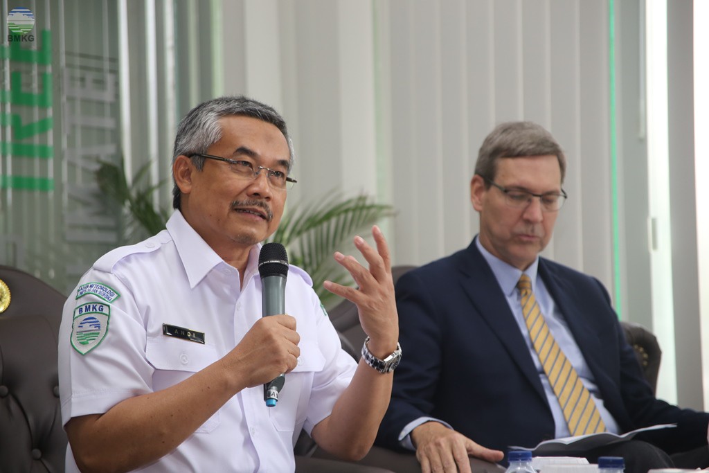
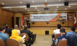
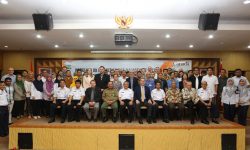
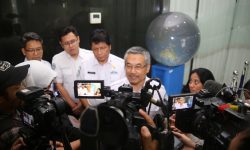
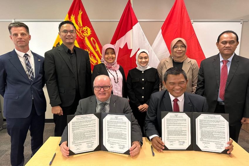
The FDRS information – one of which – is about the possibility of easy occurrence of forest/land fires. This FDRS information is based on meteorological parameters including temperature (T), air humidity (RH), wind (W), precipitation and atmospheric pressure (P). The FDRS itself has been in existence since 1998 and has been collaborating with Canada in the FDR, as stated by the Head of BMKG, Dr. Andi Eka Sakya, Mr. Ing before the media on Monday afternoon during the activity “Workshop on Fire Management Decision Making in Indonesia: Using Fire Risk Systems and Fire Risk Assessment System Tools“which is a collaboration between Indonesia and Canada.
“It is hoped that the updated FDRS information product can be used as a reference in forest/land fire management policies by the Ministry of Environment and Forestry, local regional governments and the community,” added BMKG Head Dr. Andi Eka Sakya, M. Eng.
Andi Eka also added that by providing information on the FDRS, we also use it Fire Weather Index to describe the ease of forest and land fires over the next 7 days, as seen from an area’s weather parameters.
“In the early warning system, we also use satellite imagery to provide information regarding the detection of smoke haze caused by forest and land fires, because our area is very large. It is a challenge for us to provide information. hotspot with a high degree of precision in time real time” said Andi Eka Sakya.
Andi stressed that through this workshop we can determine what measures to take to mitigate forest and land fires, not just get information about forest and land fires.
Meanwhile, Canada’s ambassador to Indonesia, Mac Fathur, said Canada has similarities with Indonesia, which has tropical forests.
“We hope that through this training and workshop, Canada can make a contribution to Indonesia in the fire management system by helping to improve the Indonesian FDRS so that it can be used as a step to protect the environment and prevent and mitigate climate change,” Mac Fathur said during his explanation to the media.

“Amateur problem solver. Hipster-friendly alcohol lover. Beer buff. Infuriatingly humble tv geek.”
